
Our Place - History
Wairahi reflects what is thought to be the original name Māori gave to this area, as evidenced on some of the earliest maps.
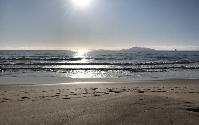
Like many Māori place names, it derives from a composite of words describing the nature of the area - in this case "wai" (water) and "rahi", meaning either "abundant" or "roaring", indicating Māori appreciated the plentiful kai moana or the dramatic loudness of surf, characteristics enjoyed by all those who over time have come to appreciate this area. One of the earliest maps of the area clearly shows the name Wairahi associated with the cove, and it may have been the name for the pa that once occupied the headland at the eastern end of the beach above the cove. It was also assigned to the name of the first street, the main stream flowing onto the beach, and is said to have been inscribed on a copper plate that hung over the entrance to the first Lang homestead.
Māori presence in the area goes back to the canoes Māhuhu-ki-te-rangi and Ruakaramea, captained by Manaia. Over time, the area has been occupied by several iwi including Ngāti Awa, Ngaitahuhu, Ngāpuhi, Ngātiwai and Ngāti Whātua. Today, “our place” sits within the rohe of 3 of those iwi: Ngāpuhi, Ngātiwai and Ngāti Whātua, with two major hapū, Patuharakeke (of Takahiwai) and Te Uri o Hau (Kaipara) currently holding most influence
.
James Cook anchored in Bream Bay in Nov 1769 during his first visit, and had several interactions with Māori who visited the Endeavour in waka for trade exchanges.
The Musket Wars (1807-1840) led by Ngāpuhi chief Hongi Hika, wrought major changes on the area leading up to the signing of the Treaty of Waitangi, by which time the area was in the control of Ngāpuhi allies Te Parahwau and Patuharakeke.
The early 19th century saw several visits by missionaries Leigh, Marsden and Colenso. James Busby accompanied Colenso on his 1839 trip and negotiated the purchase of several large blocks of land including Ruakaka (Dec 1839) and Waipu (Jan 1840). Busby’s purchases were later denied by the Old Land Claims Commission and the Crown then purchased the same blocks in 1854 to make land available for the recently arrived Nova Scotian immigrants.
The Nova Scotians began to settle in the Waipu area in the 1850s, two of whom, Duncan McKenzie and William Lang, purchased Crown Grants along this coast in 1856. Duncan McKenzie purchased the 40 acre block where Lang Cove now sits, and the beach acquired the name McKenzie Cove - a name that still appears on many maps today.
The western half of the beach was settled by William Lang. Over 3 generations the Lang family purchased McKenzie’s and other lots to the east and south and by the end of the 19th century, they owned over 900 acres, from which the current name Langs Beach arose.
From 1927 to 1990, the Lang farm was incrementally sold off, eventually creating the major subdivisions in the area, Wairahi Rd, The Landing, Langs Beach Estate and Lang Cove.
These subdivisions resulted in the formation of several reserves in the area, including most of the coastal strip as esplanade reserve. In 1994, DOC purchased the 15 hectare block of regenerating bushland that forms the Langs Beach Scenic Reserve, and more recently the Whangarei District Council set aside the 9 hectare bush reserve in Waterman Drive, bringing the total area of public reserve in Langs Beach to 45 hectares, providing a wide focus of activity for the Wairahi Tracks Trust.
Below: 1857 Plan showing original Crown Grants for William Lang (160 acres) and Duncan McKenzie (84 acres).